May 19,2014
The 2014 Atlantic Hurricane Season predictions are due out this week from the National Oceanic and Atmospheric Administration (NOAA), although the accuracy of such long-range forecasts is often criticized.
For example, the active Atlantic hurricane season that was predicted last year never materialized.
Imperfect science
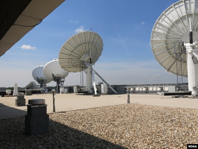
NOAA’s Satellite Operations Facility near Washington houses the the tools meteorologists use to make their forecasts.
Tom Boyd sits before a bank of computers that streams live data from weather satellites.
“As we speak, we’re looking at what is happening on the satellite," he said. "It tells the imager and sounder when to stop and start and when to scan out over the U.S.”
The imager works like a camera in space, and the sounder measures the temperature radiated from clouds, oceans and air. Boyd is among the dozens of aerospace engineering technicians in the control room who gather that data and make sure the satellites run properly around-the-clock.
NOAA’s fleet includes 16 satellites, some of which remain in a set position over the United States, while others constantly circle the globe. The challenge is to get as accurate a picture of the atmosphere as possible, says Mike Condray, deputy director of NOAA’s Office of Satellite and Product Operations.
“They give you the temperature, the winds, the humidity, that kind of information," Condray said. "And that as data is put into the computer models that the National Weather Service runs and those computer models are what give people the long-term 3-days, 5-days, 7-day forecasts to prepare.”
And those long-term forecasts can save lives.
 Each day NOAA's Satellite Operations Facility processes 16 billion bytes of data from 16 different satellites.
Better predictions
He expects predictions to improve with the launch of the Joint Polar Satellite System in early 2017.
“What these will provide is about an order of magnitude, in other words about 10 times more volume of data on the atmospheric state on the winds, the temperature and the humidity in the atmosphere,” Condray said.
That information will improve the day-to-day forecast.
Seasonal forecasts rely on even more data sources. In addition to satellites, they depend on ocean buoys that record sea temperature and observations from ships. NOAA and Colorado State University issue annual hurricane reports to let planners and the public know what to expect.
Warmer than normal waters in the tropical Pacific generally indicate fewer storms in the Atlantic.
”If the waters are warmer than normal that tends to mean there is more fuel for the developing storms," said CSU research scientist Philip Klotzbach, who mines the tropical Atlantic for similar clues. "If the atmospheric pressures are lower than normal that tends to mean the atmosphere is more unstable and more conducive for storms to form and intensify.”
But errors do occur.
“It is certainly very difficult to predict and is very complicated because the atmosphere and the ocean interact in a very complicated manner and you have to take into account a lot of these complicated relationships when you are issuing these seasonal predictions,” Klotzbach said.
But Klotzbach says mistakes better inform the next forecast, adding, “Prediction remains an inexact science.”